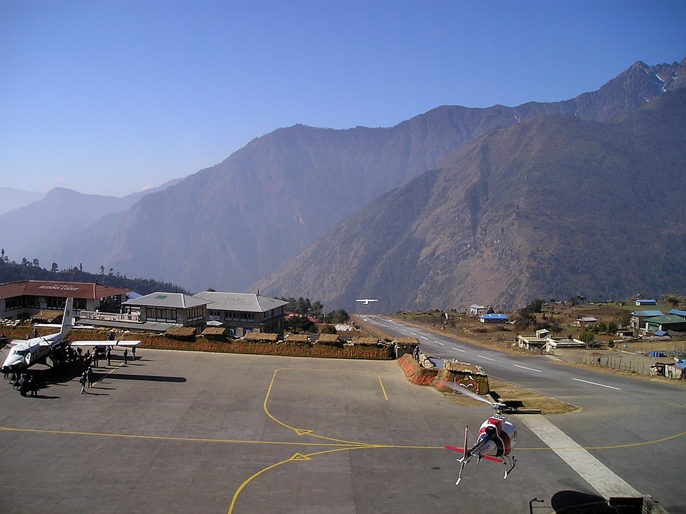
Ledar Village
Perched at 4,200 m in the Marsyangdi valley, Ledar is an essential acclimatization stage on the Annapurna Circuit in Népal, before crossing the Thorong La pass.
Ledar is a small high-altitude village located in the Marsyangdi valley, on the Annapurna Circuit in Népal. Situated at approximately 4,200 meters, it marks a key stage between Yak Kharka and the base camp of the Thorong La pass. The village offers a taste of the high-altitude desert landscape that characterizes this portion of the trek, with direct views of the surrounding peaks.
Essential Practical Information
- Altitude: approximately 4,200 m
- Access: on foot only, via the Annapurna Circuit trail (ACAP)
- Permit required: ACAP (Annapurna Conservation Area Permit) and TIMS card mandatory
- Duration of stay: one-night stage for acclimatization, before ascending to Thorong Phedi
- Accommodation: a few basic tea houses available
- Accessibility: not accessible for people with reduced mobility
What You'll See
The landscape around Ledar is arid and mineral-rich. Vegetation becomes sparse, giving way to wind-swept rocky expanses. The village itself consists of just a few stone tea houses. On clear days, the peaks of the Annapurna Range and Chulu East stand out on the horizon. The Marsyangdi River flows below through a narrow gorge.
History and Context
Ledar is a village of the Manangi community, a Tibeto-Burman ethnic group historically linked to trans-Himalayan trade. These populations have long used high-altitude passes as trade routes between Népal and Tibet. Today, the local economy relies almost entirely on trekkers following the Annapurna Circuit.
Highlights of Your Visit
Acclimatization at altitude
Ledar is a strategic stage for acclimatization before crossing Thorong La (5,416 m). Spending a night here allows your body to adapt gradually. It is advisable not to climb too quickly from Manang to avoid acute mountain sickness.
Views of the peaks
In late afternoon and early morning, the low-angle light reveals the snow-covered ridges of the Annapurnas. Chulu East (6,584 m) is particularly visible from the edges of the village. These lighting conditions are ideal for mountain photography.
The high-altitude atmosphere
The thin air, silence, and isolation give Ledar a unique atmosphere. The tea houses, heated by yak dung, offer a striking contrast to the harshness of the exterior landscape. It is a place where the pace of trekking naturally imposes slowness.
Photography Tips
Morning light, before clouds rise, is best for photographing the peaks. Face northwest to frame Chulu East. Protect your equipment from the cold nights, which can quickly drain batteries. Prayer flags hanging from the tea houses make good foreground elements.
Location and Access
Ledar lies between Yak Kharka (approximately 1 hour of walking downhill) and Thorong Phedi (approximately 2-3 hours uphill). The usual starting point of the circuit is Besisahar, accessible by bus from Kathmandu or Pokhara. Most trekkers reach Ledar after several days of walking from Manang. No motorized access exists beyond Manang.
Nearby Attractions
- Yak Kharka — previous stage on the circuit, at approximately 4,018 m, with pastures frequented by yaks.
- Thorong Phedi — base camp before crossing Thorong La, the final stage before the pass.
- Manang — main village in the valley, with medical services, bakeries, and altitude briefings organized by the HRA.
- Thorong La Pass — the highest point of the Annapurna Circuit at 5,416 m, typically crossed early in the morning.
Want to discover this destination?
Our local advisors design your tailor-made trip.