Khumbu Region and Everest
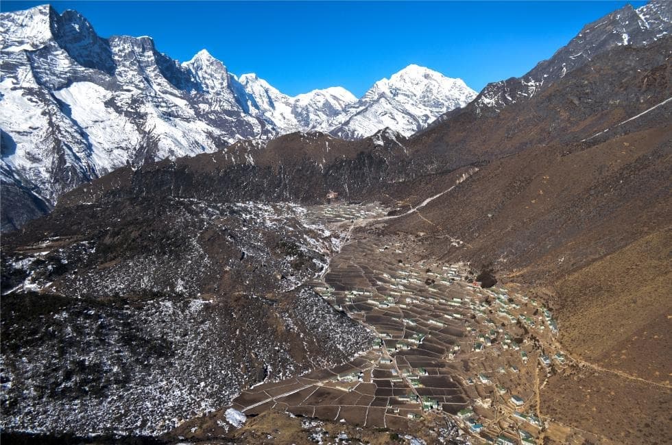
The upper Dudh Koshi basin, Sherpa homeland between 2,600 and 8,848 meters, where the Base Camp trek and Gokyo valley meet via high passes exceeding 5,300 m.
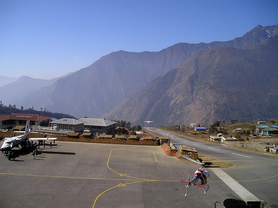
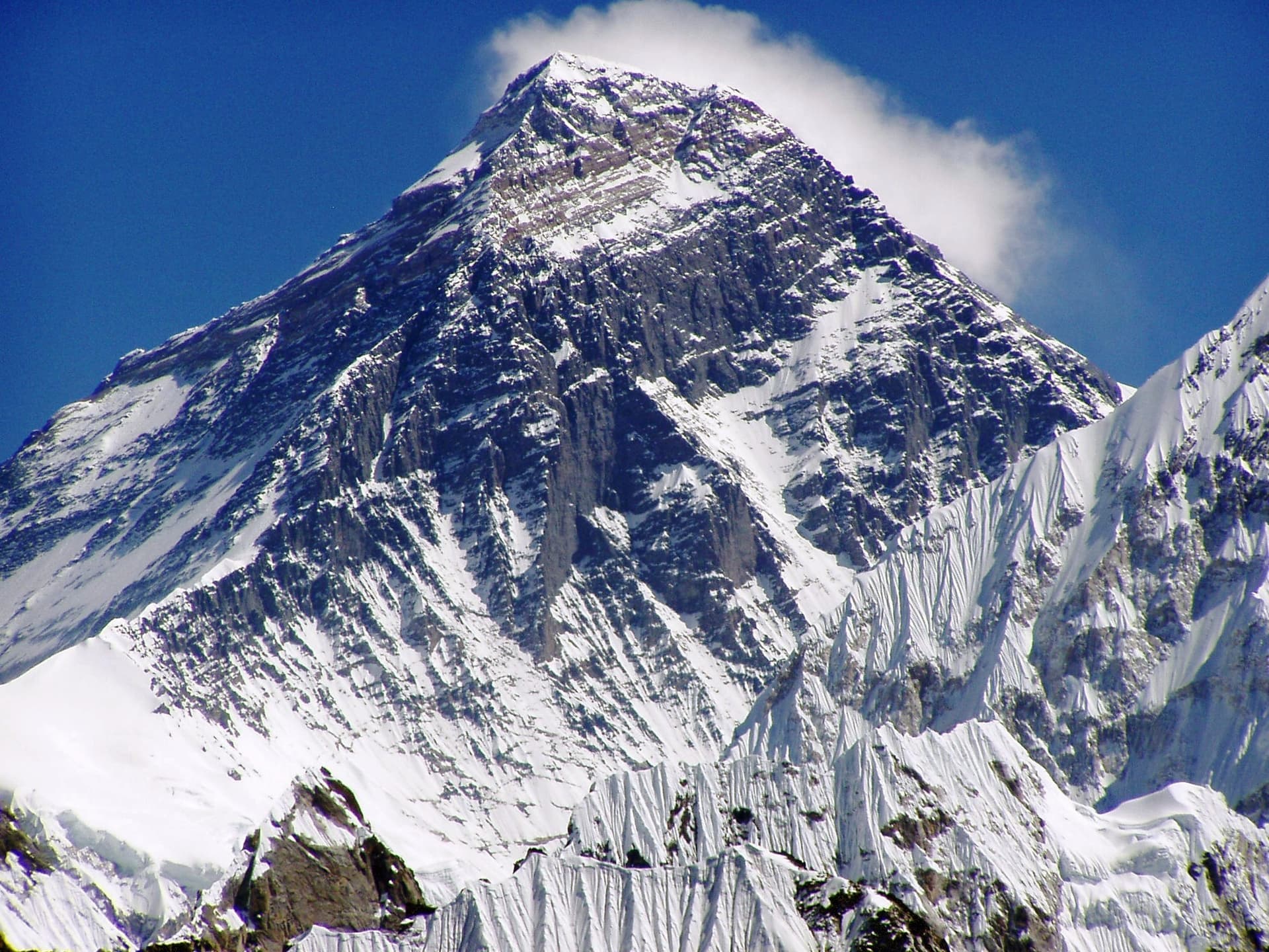
Khumbu is the upper basin of the Dudh Koshi, the "river of milk" descending from glaciers in the Everest massif. This valley, located in Solukhumbu district in the northeast of the country, stretches between 2,600 meters at Lukla and 8,848 meters at the summit of Sagarmatha, the Nepali name for Everest. Our team has worked this region from Kathmandu: the flight connecting the capital to Lukla's runway, 527 meters long and inclined at 12 degrees, remains the standard entry point. During high season, departures are shifted to Manthali, four hours east of Kathmandu, to avoid air traffic congestion.
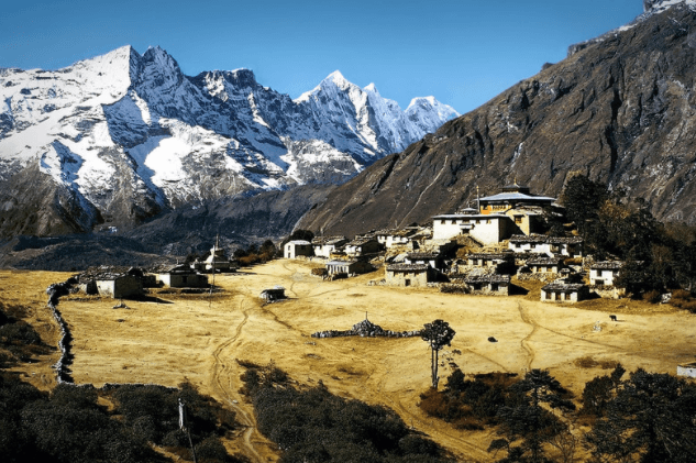
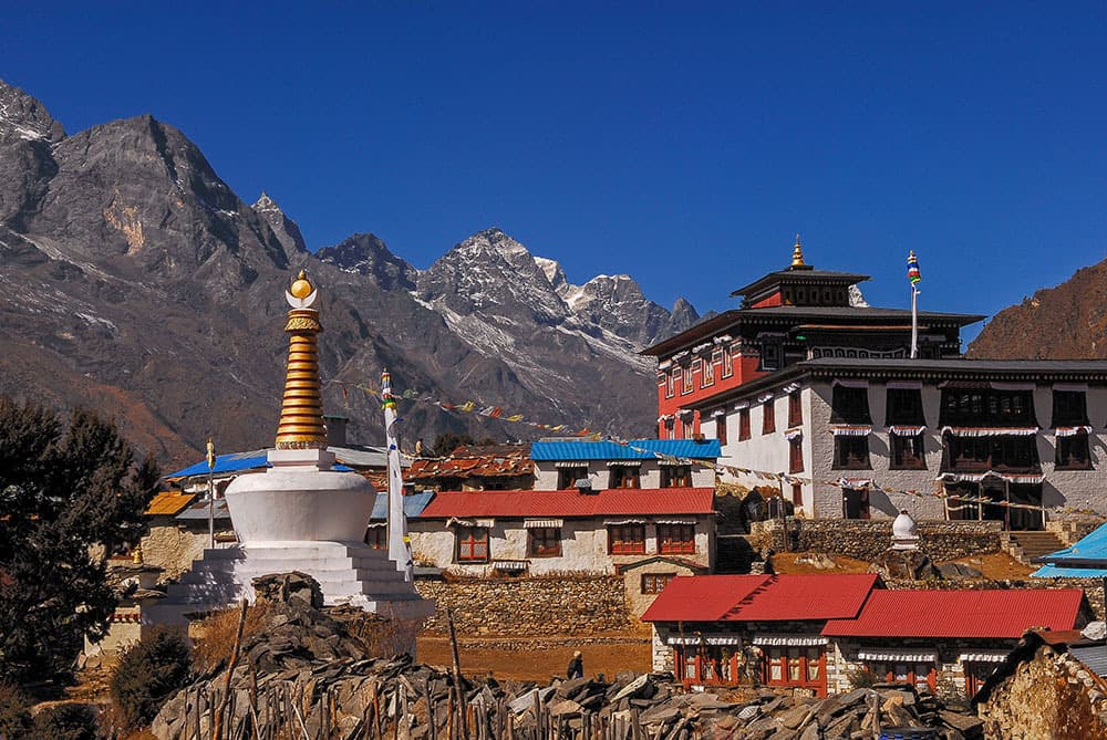
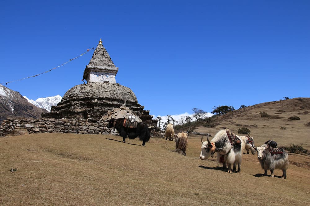
Khumbu is above all the homeland of the Sherpas, a Tibetan community that arrived from eastern Tibet roughly five centuries ago via the Nangpa La passes. Their language, Sherpa, remains distinct from Nepali. Tibetan Buddhism structures the villages: prayer flags on ridges, mani walls carved with the mantra Om mani padme hum, monasteries at Tengboche (3,867 m) and Thame that punctuate the year with ceremonies, notably Mani Rimdu in October or November according to the lunar calendar. Tengboche, rebuilt after the 1989 fire, houses about twenty monks and remains the spiritual benchmark of Base Camp treks.
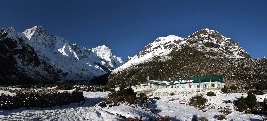
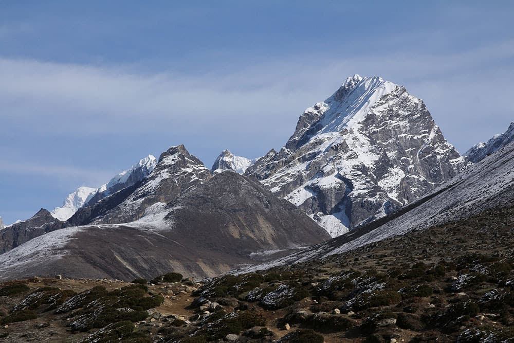
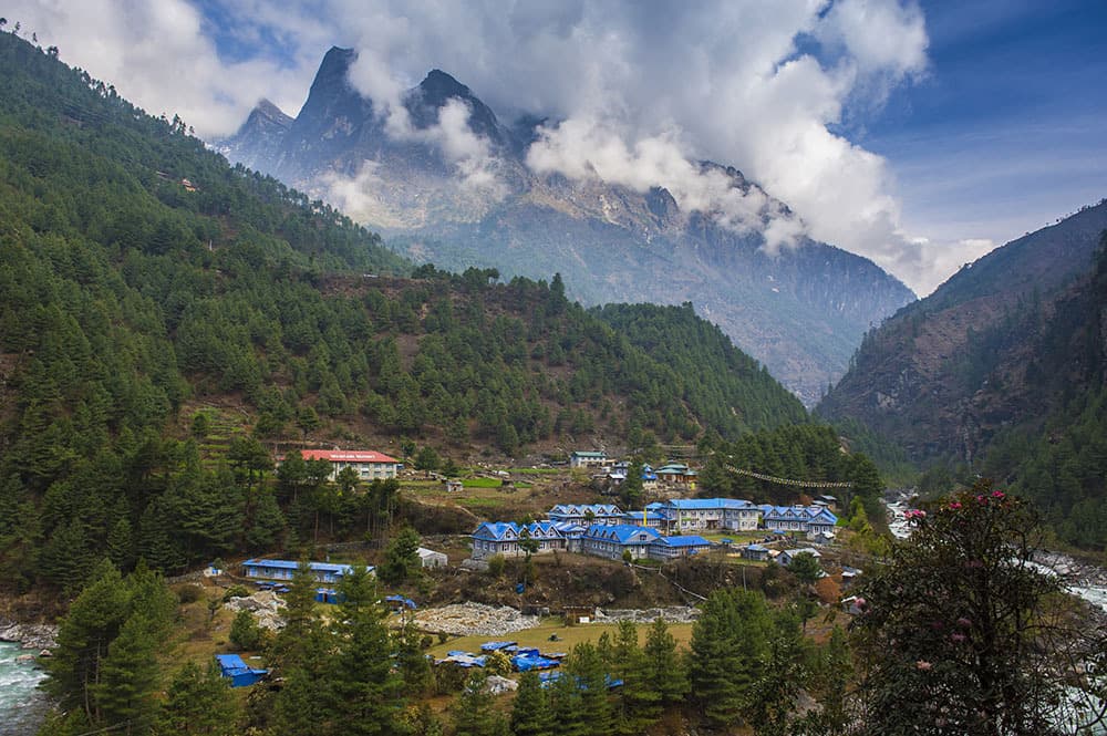
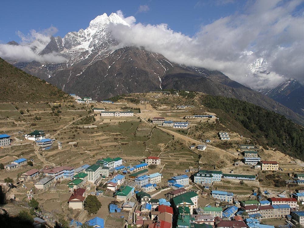
Geography commands everything. Above Namche Bazaar (3,440 m), the economic capital of Khumbu perched like a horseshoe on a moraine, the tree line vanishes toward 4,000 meters. Beyond, it becomes a mineral universe of moraines, turquoise glacial lakes like those at Gokyo, and granite and gneiss walls. Sagarmatha National Park, inscribed as a UNESCO World Heritage Site since 1979, covers 1,148 km² and still harbors the Himalayan tahr, musk deer, and more rarely the snow leopard sighted near Phortse. Flora includes rhododendron forests flowering in April, junipers, and silver birches up to 4,300 meters.
Local economy shifted within two generations. Before the region opened to trekkers in 1964, Sherpas lived from yak and dzo herding (yak-cattle crossbreed), potato cultivation introduced in the 19th century, and trans-Himalayan trade with Tibet via the Nangpa La. Today, nearly 60,000 trekkers enter the park annually, and virtually every family in Namche, Khumjung, Pangboche, or Dingboche derives income from lodges, portering, and expedition guiding. This transformation funded Khumjung School, founded by Edmund Hillary in 1961, and Kunde Hospital.
Khumbu cuisine reflects altitude and frugality. Dal bhat, the national staple of rice, lentils, and vegetables, remains daily fare in lodges. More specific are shyakpa, a thick Sherpa soup of buckwheat paste, dried meat and root vegetables; momos filled with yak; and tsampa, roasted barley flour mixed with salted butter tea, still consumed by elders. Above 4,000 meters, fresh produce grows scarce and everything is carried by man or dzo from Lukla, explaining the progressive price inflation along the valley.
Khumbu does not end at the Base Camp objective at 5,364 meters. The Gokyo valley, parallel to the west, offers an alternative approach with its five lakes tiered between 4,700 and 4,990 meters and Gokyo Ri (5,357 m), from which four 8,000-meter peaks are visible—Everest, Lhotse, Makalu, Cho Oyu. Passes via Cho La (5,420 m) and Renjo La (5,360 m) allow experienced hikers to loop both valleys in 16 to 18 days.
Must-see
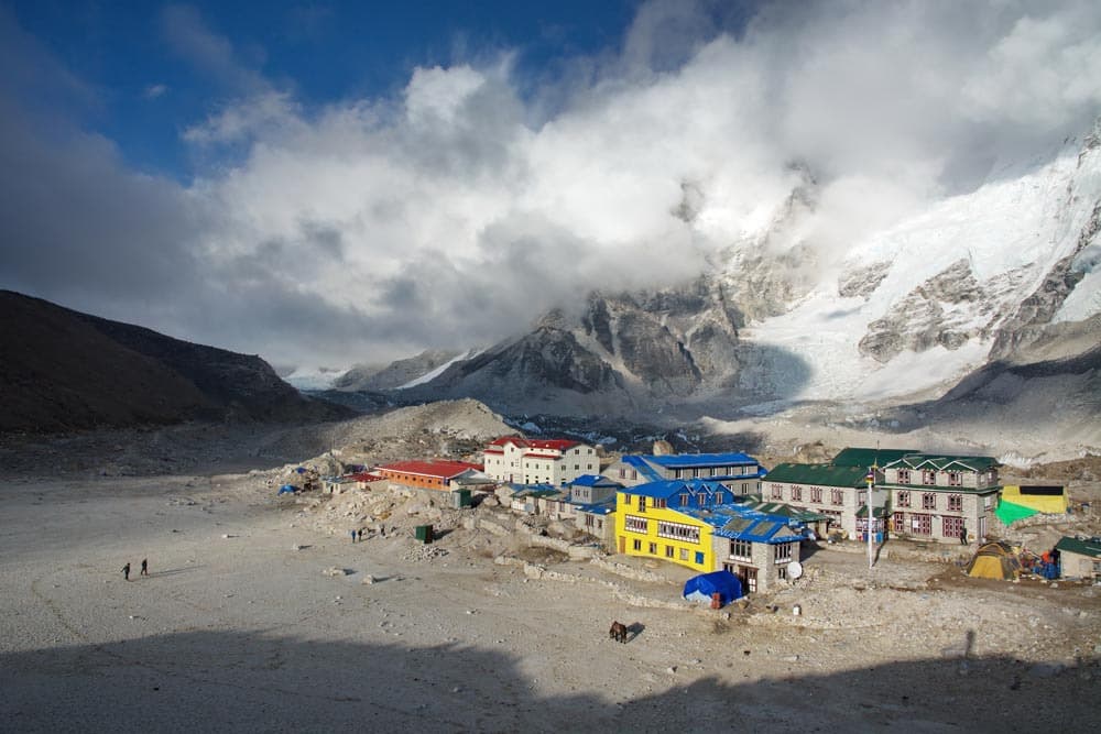
Everest Base Camp at 5,364 m. A 12 to 14-day trek from Lukla, passing through Namche, Tengboche, and Lobuche. The camp itself sits on an unstable moraine at the foot of the Khumbu icefall; the panoramic view unfolds the next morning from Kala Patthar (5,545 m), at dawn, at -15 to -20°C.
Gokyo valley and lakes. Five turquoise glacial lakes fed by the Ngozumpa glacier, the longest in Népal (36 km). Ascent to Gokyo Ri for a frontal view of Everest, without the crowds of the classic trek.
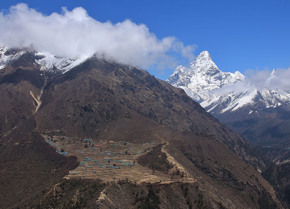
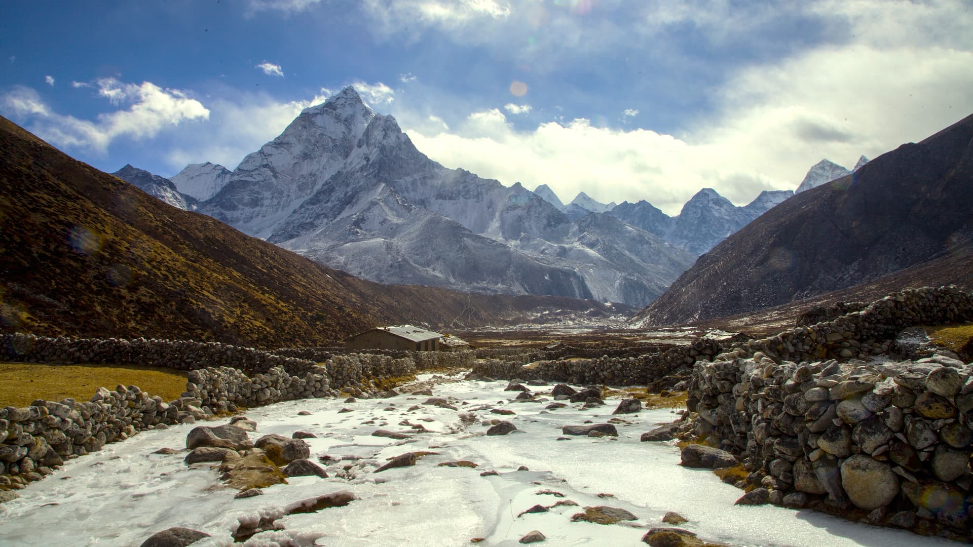
Tengboche Monastery and Mani Rimdu. Three-day festival in October or November: masked dances of the monks, scripture recitation, and public blessings in the monastery courtyard, facing Ama Dablam (6,812 m).
Saturday market at Namche Bazaar. Tibetan and Nepali traders from lower valleys converge on Namche at dawn. Yaks, salt, textiles, vegetables carried on foot from Jiri. Also the ideal acclimatization day: climb to Khumjung (3,790 m) and descend to sleep.
Three passes: Renjo La, Cho La, Kongma La. An 18 to 21-day itinerary linking the Gokyo, Khumbu, and Chhukhung valleys via three passes above 5,300 meters. For acclimatized hikers, with glacier sections at Cho La.
When to visit
Two weather windows dominate. The post-monsoon season, mid-October to end November, offers the year's best visibility: clear skies after summer rains, daytime temperatures of 10-15°C at Namche and -10 to -15°C at night above 5,000 meters. This is also the busiest period, with lodge saturation at Lobuche and Gorak Shep in November. The pre-monsoon season, mid-March to end May, sees rhododendrons bloom up to 4,000 meters in April; morning visibility remains good but afternoons often cloud over. Temperatures are similar to autumn.
We advise against June to mid-September: the monsoon brings 300 to 400 mm monthly rainfall in the lower valley, flights to Lukla are cancelled multiple days in a row, and leeches climb to 2,800 meters. Winter, December to February, remains feasible to Tengboche for experienced trekkers, but nighttime temperatures drop to -25°C at Base Camp and many lodges above Dingboche close.
Practical advice
Allow 14 days minimum on-site for the classic Base Camp trek, 18 to 20 days for the Gokyo-Everest loop via Cho La. A shorter version exists: Lukla, Namche, Tengboche, return to Lukla in 8 days, accessing iconic landscapes without commitment above 4,000 meters. Acclimatization is non-negotiable: our team systematically programs two nights at Namche (3,440 m) and one at Dingboche (4,410 m), with altitude outings during the day. The rate of acute mountain sickness above 4,500 meters exceeds 50% in trekkers who climb too fast.
The entry point remains the Kathmandu-Lukla flight (35 minutes) or Manthali-Lukla (20 minutes after 4 hours' drive) during high season. Accommodation is in lodges (teahouses): simple double rooms, unheated, with communal areas around yak dung stoves, hot showers available for pay only below 4,500 meters. The most coherent pairing with Khumbu is the Kathmandu valley before and after the trek (cultural acclimatization, visits to Bhaktapur and Patan, two to three days). For trekkers wishing to contrast altitude and plains, Chitwan National Park offers a three-day tropical break. This region suits hikers in good physical condition, capable of sustained 5 to 7-hour walking days for two weeks at altitudes where oxygen represents only 50% of sea-level values.