The Annapurna Protected Area
The Annapurna Protected Area
Spanning 7,629 km² across five districts, the Annapurna Conservation Area is Nepal's largest protected area and the country's primary trekking destination.
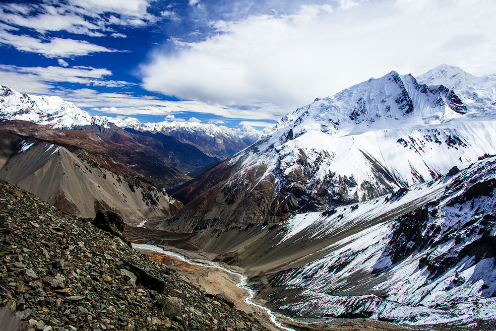
The Annapurna Conservation Area (ACA) covers 7,629 km², making it Nepal's largest protected area. It extends across five districts — Manang, Mustang, Lamjung, Myagdi, and Kaski — and encompasses the entire Annapurna massif, with elevations ranging from 790 m to 8,091 m at the Annapurna I summit. Managed by the NTNC through the Annapurna Conservation Area Project (ACAP), this zone combines biodiversity protection, support for local communities, and trekking oversight, which remains one of the country's primary tourism activities.
Why visit the Annapurna Protected Area
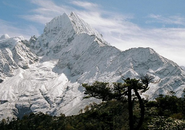
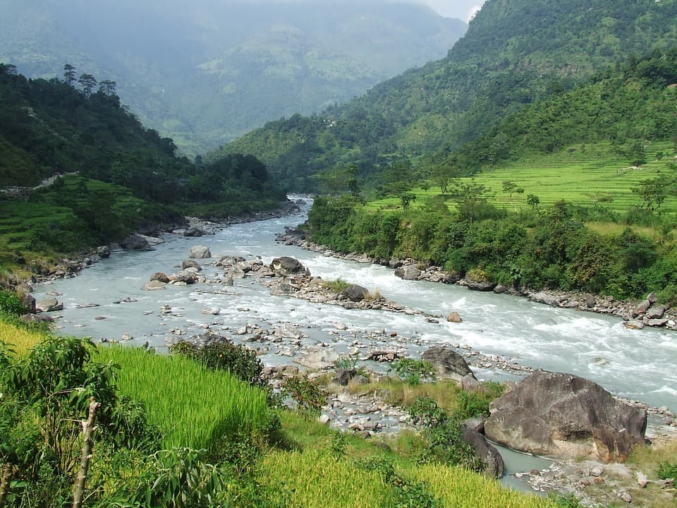
The region brings together a rare diversity of ecosystems across Asia within a single boundary: subtropical forests in the south, rhododendron valleys, the arid high plateaus of Mustang north of the massif, and glacial zones above 5,000 m. This elevation range of over 7,000 meters explains the site's biological richness and the variety of landscapes encountered within days of trekking.
The ACA also serves as a laboratory for community-based tourism: permit revenues fund conservation, education, and village infrastructure. For visitors, this translates to well-maintained trails, a network of family-run lodges, and year-round inhabited villages, rather than a closed park isolated from its inhabitants.
What to see and do in the Annapurna region
Major trekking itineraries
Three circuits structure visitor access to the zone:
- The Annapurna Circuit: a historic route that circumnavigates the massif via the Thorong La pass (5,416 m), crossing from Manang toward Muktinath and the Kali Gandaki valley.
- The Annapurna Sanctuary (Annapurna Base Camp, ABC): a shorter trek leading to the foot of Annapurna I at 4,130 m, within a glacial cirque.
- Poon Hill: a short loop around Ghorepani and Tadapani, accessible to beginner trekkers, renowned for its sunrise views over Dhaulagiri and Annapurna South.
Other less-frequented itineraries exist, such as Mardi Himal, the Nar-Phu valley, or the Mustang circuit (which requires a special permit).
Flora and fauna
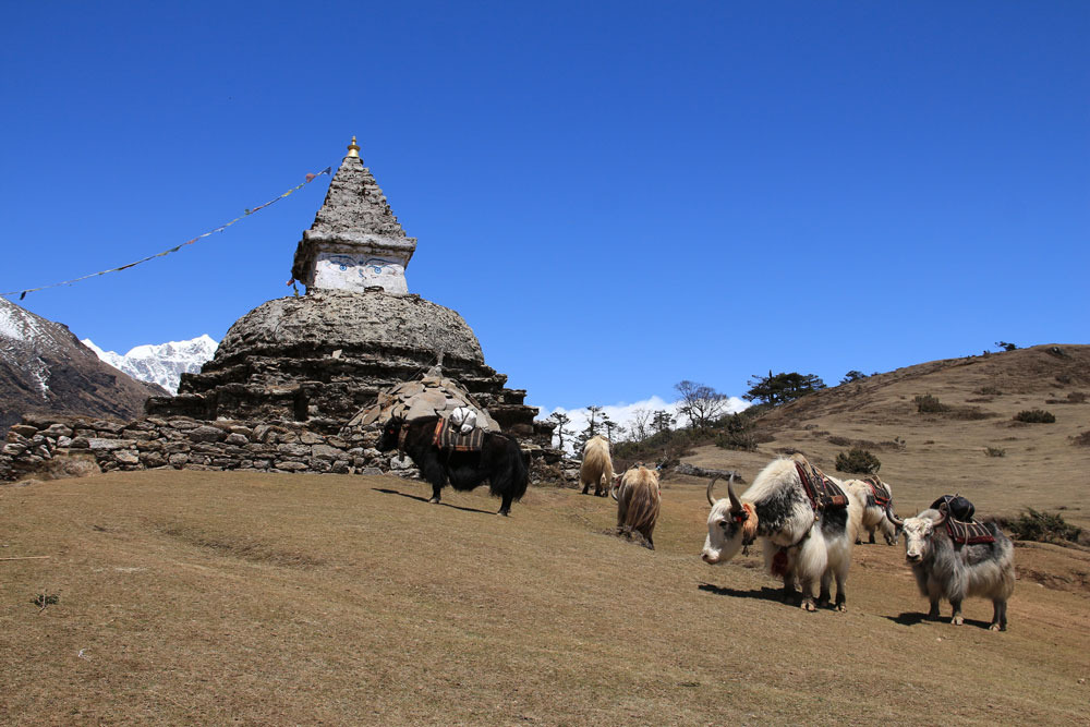
The ACA records 1,226 plant species, 474 bird species, 102 mammal species, 39 reptile species, and 22 amphibian species. Mammals present include the Asian black bear, the clouded leopard, the leopard, the Bengal leopard cat, the Indian palm civet, the yellow-throated marten, the Malaysian porcupine, the Assamese macaque, the barking deer, the Himalayan langur, the goral, the Himalayan tahr, domestic yaks, the Himalayan wolf, and several Dremomys squirrels. The snow leopard is also recorded in high-altitude zones north of the massif, though sightings remain exceptional.
Villages and cultural heritage
Along the trails, villages such as Manang, Marpha, Kagbeni, Jomsom, Ghandruk, and Chhomrong reflect Gurung, Thakali, and Tibetan cultures. Monasteries, prayer wheels, and terraced fields form an integral part of the ACA landscape, as much as the snow-capped peaks.
When to visit the Annapurna region
Two windows are favored by trekkers:
- October to early December: clear skies following the monsoon, maximum summit visibility, cool but stable temperatures. This is the high season.
- March to May: rhododendron flowering, milder high-altitude temperatures, but more frequent afternoon mists.
From June to mid-September, the monsoon makes trails slippery, brings leeches to middle elevations, and limits views. Winter (December to February) remains feasible up to 3,500-4,000 m, but the Thorong La pass can be closed by snow.
Practical information
Required permits
Two documents are required to enter the zone:
- The ACAP permit, issued by the Annapurna Conservation Area Project (NTNC), which is paid and personal.
- The TIMS card (Trekking Information Management System), established by the Nepal Tourism Board for trekker monitoring. Its conditions evolve regularly: since 2023, it is in principle required through an accredited local agency.
Both can be obtained in Kathmandu (Bhrikuti Mandap) or Pokhara. Bring two passport photos and a copy of your passport.
Accommodation and logistics
The lodge (teahouse) network covers nearly all classic itineraries. Rooms are basic but comfort is improving. Prices increase with elevation. For remote itineraries (Nar-Phu, Mustang, Mardi Himal), a guide is recommended, and sometimes mandatory under current regulations.
Health and acclimatization
Acute mountain sickness is the primary risk on the Annapurna Circuit and ABC. Respect acclimatization stages, do not exceed 500 m of positive elevation gain per sleeping night beyond 3,000 m, and plan a rest day in Manang or Deurali.
How to get there
The main gateway is Pokhara, approximately 200 km from Kathmandu (6 to 8 hours by road, or 25 minutes by flight). From Pokhara, transport connections reach classic starting points: Nayapul and Ghandruk for the ABC, Besisahar for the Annapurna Circuit. The road now reaches villages once considered remote (Chame, Manang), progressively changing the character of the historic circuit. Jomsom has a small airport connected to Pokhara, useful for shortening certain itineraries.
Nearby attractions
Before or after trekking, several sites enhance a stay in the region:
- Begnas Lake, east of Pokhara, for a few days' rest after hiking.
- Bhaktapur Durbar Square, an essential heritage stop in the Kathmandu Valley.
- Kirtipur, an ancient Newar city perched southwest of Kathmandu.
- Changu Narayan, one of the country's oldest Hindu temples.
Frequently asked questions
Frequently asked questions
Nepali regulations have evolved and now require, in most cases, the use of a registered guide for treks in protected zones. This obligation is particularly strict for high-altitude itineraries such as the Annapurna Circuit or ABC.
Allow 4 to 5 days for the Poon Hill loop, 7 to 10 days for Annapurna Base Camp, and 12 to 18 days for the complete Annapurna Circuit depending on pace and acclimatization.
General good physical condition suffices for Poon Hill. For the ABC and Annapurna Circuit, you should be capable of walking 5 to 7 hours daily with elevation gain over several consecutive days.
Yes, the ACAP permit is paid and personal. The fee is higher for foreign nationals than for visitors from SAARC countries. Revenues fund conservation and local communities.
Yes. Pokhara and its surroundings (Phewa Lake, Sarangkot) already offer fine views of the massif. The road also allows reaching certain villages such as Ghandruk or Jomsom without extended hiking.
Planning your trip to Nepal
The Annapurna Protected Area suits both experienced trekkers and occasional walkers, provided the itinerary and season are tailored accordingly. To build a coherent journey combining the region with the rest of the country, consult our suggestions on travel to Nepal.

Interested in this visit?
We can include it in your personalised itinerary.